
Enterprise
Sponsored
Nairobi, Nairobi Central, 2 hours ago
4 views
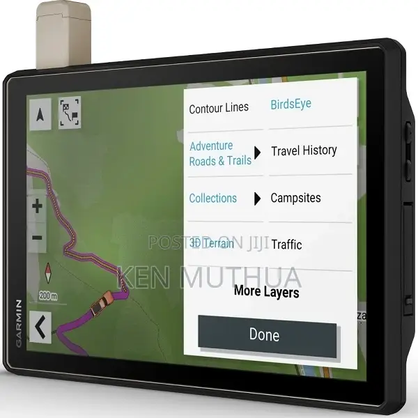
Tread Xl - Overland Edition
10” All-Terrain Navigator
Garmin
Brand
GPS Devices
Type
Brand New
Condition
Features:
navigate unpaved roads and trails with OpenStreetMap (OSM) using turn-by-turn trail navigation including Adventure Roads and audio prompts.
custom routing based on vehicle size and weight and preloaded iOverlander POIs (points of interest) so you can find a place to camp
this rugged navigator is IP67 weather resistant and features a 10' extra bright touchscreen
download BirdsEye satellite imagery directly to the Tread without a computer
use the Tread app on your compatible smartphone to sync data across devices and plan routes
integrated features offer more peace of mind. With an active subscription, you can use the inReach technology for global satellite communications.

Safety tips
- Avoid paying in advance, even for delivery
- Meet with the seller at a safe public place
- Inspect the item and ensure it's exactly what you want
- Make sure that the packed item is the one you've inspected
- Only pay if you're satisfied


