
Sponsored
Nairobi, Nairobi Central, 17 hours ago
2 views
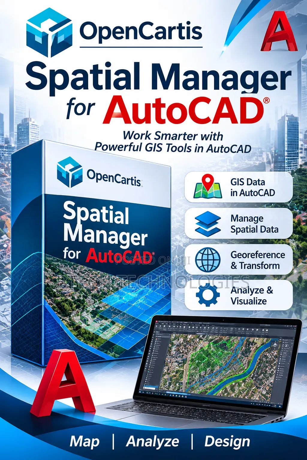
Spatial Manager for AutoCAD
Spatial Manager for AutoCAD
Software Name
3D Modeling
Type
Windows
Platform
Digital Download
Format
Get Spatial Manager for AutoCAD — a powerful GIS and spatial data management tool designed to integrate geographic information into your AutoCAD workflow.
Key features:
Import and export spatial data
Work with GIS data directly in AutoCAD
Manage geographic coordinates and projections
Georeferencing and coordinate transformation
Integrate spatial datasets into CAD drawings
Work with formats such as SHP, KML, GeoJSON and other supported formats
Analyze and visualize geographic information
Improve mapping and engineering workflows
Ideal for surveyors, GIS professionals, civil engineers, urban planners, architects and mapping specialists.
Safety tips
- Avoid paying in advance, even for delivery
- Meet with the seller at a safe public place
- Inspect the item and ensure it's exactly what you want
- Make sure that the packed item is the one you've inspected
- Only pay if you're satisfied


