
Sponsored
Nairobi, Nairobi Central, 1 hour ago
6 views
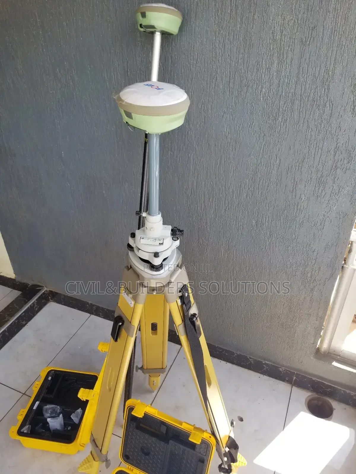
Rtk Foif Surveying
Brand New
Condition
Other
Brand
Other
Type
Store address
Kiambu • Ruiru
New home bussiness center ruiru, next to kcb bank, 2nd flr rm 211
We R along thika road, ruiru town next to kcb bank or opposite equity bank ruiru and petanns driving
Closed
• Mon - Sun, 08:00-19:30
RTK is a high-precision GPS technology used in surveying, mapping, construction, and agriculture to provide real-time, centimeter-level accuracy.
It works by using a base station at a known location and a rover (mobile receiver) in the field. The base station sends correction data to the rover via radio, Bluetooth, or GSM, allowing the rover to correct satellite signals instantly.
Key Features
Accuracy: 1–2 cm in real time
Dual-frequency GPS/GNSS support
Live corrections from base to rover
Portable and battery-powered
Connects via SIM card, UHF radio, or Wi-Fi
Uses
Land surveying
Construction layout
Machine control
Precision farming
GIS mapping
RTK systems save time and reduce errors, making them ideal for any work that demands high-accuracy positioning.
KSh 720,000
NegotiableSafety tips
- Avoid paying in advance, even for delivery
- Meet with the seller at a safe public place
- Inspect the item and ensure it's exactly what you want
- Make sure that the packed item is the one you've inspected
- Only pay if you're satisfied


