
1/2
Nairobi, Nairobi Kati, 27/09
27 maoni
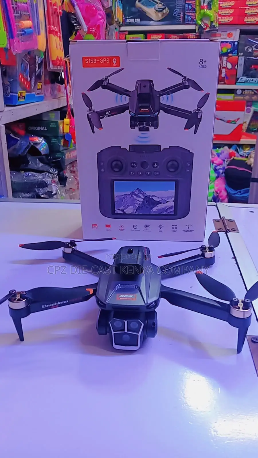
GPRS Drones
70km/h
Kasi ya juu
6000m
Upeo wa dari ya Huduma
Ndio
Kamera Imejumuishwa
48MP
Azimio la Picha
8K
Azimio la Juu la Video
120fps
Kiwango cha Juu cha Fremu
5000mAh
Uwezo wa Betri
25X
Kiwango cha juu cha Kuza
GPS
Violesura
200g
Uzito
Kukamata kwa digrii 360
Vipengele vya ndege isiyo na rubani
Uwasilishaji
Nairobi • Nairobi Kati
1-2 mchana
Bila malipo
A *GPS Drone* is an unmanned aerial vehicle (UAV) that uses the Global Positioning System to navigate, hold position, and fly autonomously.
This drone connects to 12-20+ satellites to know its exact location, altitude, and speed. This allows it to:
- *Hover stable* in one spot without drifting
- *Return to Home (RTH)* automatically if signal is lost or battery is low
- *Follow pre-set waypoints* - you draw a route on the map and it flies itself
- *Track and record flight logs* - distance, height, path
Without GPS, a drone is manual and drifts with wind. With GPS, it becomes intelligent.
*Main uses:* Aerial photography, mapping/surveying, delivery, agriculture spraying, security surveillance, and search & rescue.
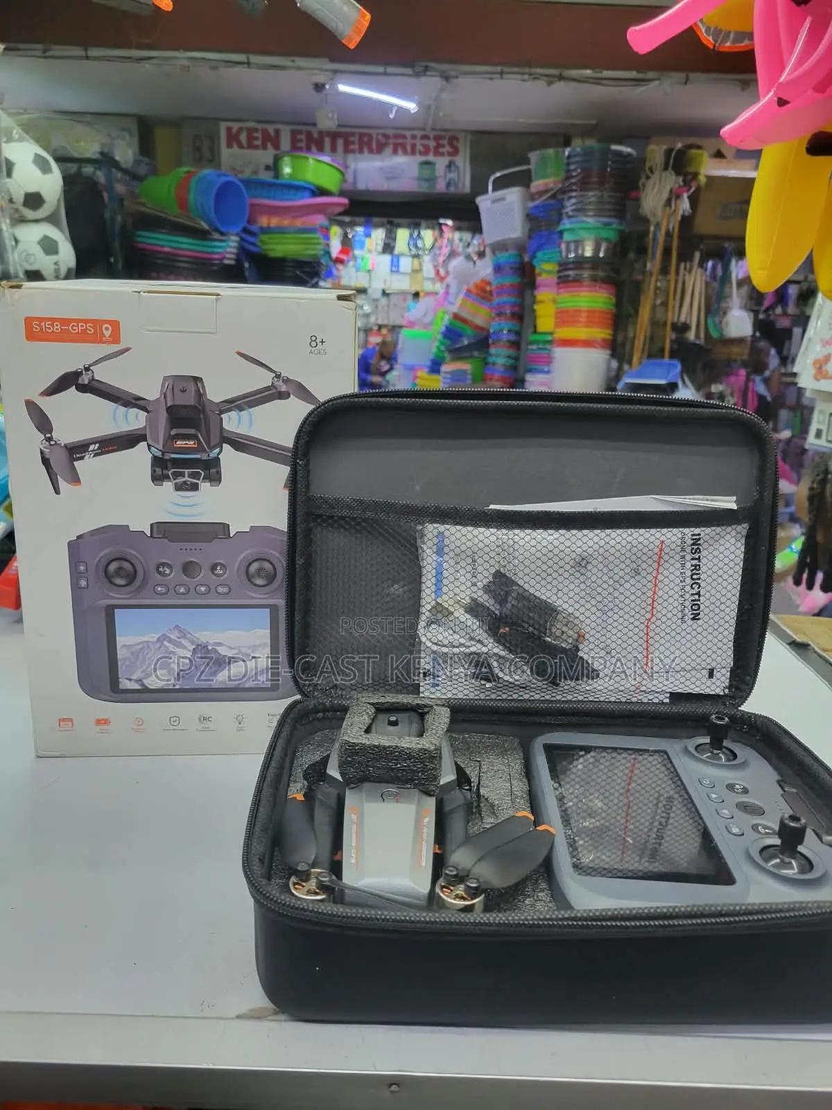
It's made of: Frame + Motors + GPS module + Flight controller + Camera + Battery.
KSh 15,000
Inaweza kujadiliwaVidokezo vya Usalama
- Usilipe mapema hata kama ni ada ya kusafirishiwa bidhaa
- Kutana na muuzaji mahali salama pa umma
- Kagua kipengee na uhakikishe ni nini hasa unachotaka
- Hakikisha kwamba bidhaa uliyofungiwa ni ile ambayo uliagiza
- Lipa tu ikiwa umeridhika


