

1/3


Imefadhiliwa
Nairobi, Nairobi Kati, masaa 8 yaliyopita
1 maoni
Cad Earth Full
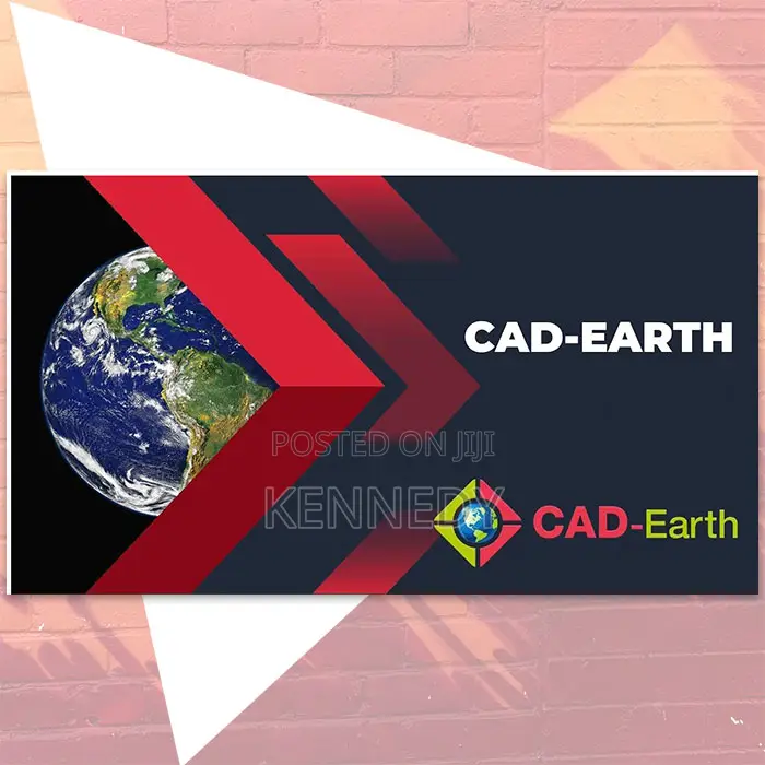
CAD-Earth
Jina la Programu
Uundaji wa mfano
Aina
Windows
Jukwaa
Upakuaji wa Dijitali
Umbizo
Wakati wa Maisha/milele
Muda wa Leseni
CAD-Earth is a CAD plugin/extension that lets you import and export images, objects and terrain meshes between CAD platforms (such as AutoCAD or BricsCAD) and Google Earth.
It supports features such as:
-importing satellite/map images and placing them georeferenced in CAD.
-importing terrain meshes from Google Earth and creating contour lines, cross-sections and profiles from them.
-exporting CAD drawings, entities or screenshots into Google Earth format (KML/KMZ) so you can visualize your CAD work in a real‐world context.
Typical uses: GIS/infrastructure projects, topographic modelling, site-layout planning where you want to tie CAD drawings to geographic/background imagery or terrains.
Fast product delivery. Buy with confidence.

Vidokezo vya Usalama
- Usilipe mapema hata kama ni ada ya kusafirishiwa bidhaa
- Kutana na muuzaji mahali salama pa umma
- Kagua kipengee na uhakikishe ni nini hasa unachotaka
- Hakikisha kwamba bidhaa uliyofungiwa ni ile ambayo uliagiza
- Lipa tu ikiwa umeridhika


